DATA COMPILATION & MANAGEMENT
- Historical data compilation: compilation of historical exploration, geological and mine data, their quality assessment and (re-)interpretation. Our extensive network and comprehensive in-house database allows us to provide in-depth archive investigations and to assess the quality of the historical data. Click here for more information on available historical exploration data in the D.R. Congo.
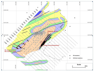
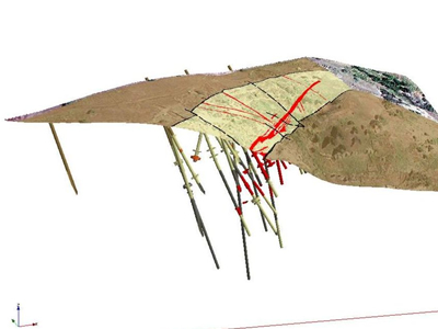
- GIS-integration: (3D-)Geographic Information Systems are fundamental in the organization and management of historical and recent exploration data. These data (geochemical and geophysical surveys, remote sensing, drilling and trenching, etc) are compiled and georeferenced together with geographical (DEM, topographic maps, aerial photographs, etc) and geological information (geologic maps, structural elements, etc.).
- Expert data interpretation: Our staff has expert knowledge on exploration for numerous styles of mineralisation (base and precious metals, gemstones, industrial minerals) in diverse geological settings (Archaean to Recent sedimentary, metamorphic and magmatic terrains). We have a strong academic background in ore geology, geologic mapping, remote sensing, geochemistry, geophysics, petrology, mineralogy, structural geology and crustal fluid flow research. Click here for a list of references of publications of GF Consult staff.
- Mineral deposit targeting: Target generation and efficient planning and execution of exploration programs require advanced (3D-) GIS analysis of the available data. GF Consult provides such an approach using appropriate software packages.
- Creation of mineral inventories: Evaluation of mineral resources and elaboration of mineral resource maps and databases. For example : see our new, comprehensive database of worldwide hard rock Li-occurrences.


